


Resilient Streets and Greenways
Texas Resilient Streets and Greenways Asset Mapping & Community Engagement Synthesis Project
ABOUT THE PROJECT
Sponsor:
THRC's Community Health and Economic Resilience Research (CHERR) Center of Excellence
PI:
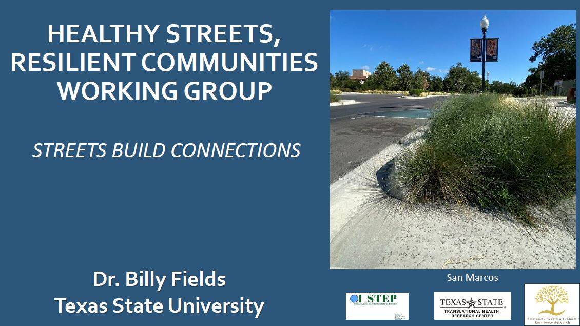
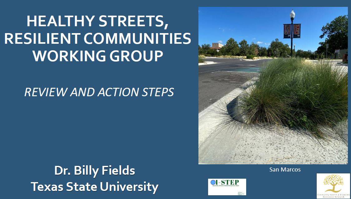
Dr. Billy Fields
Research Pillar(s):


This project informs the development of safe and resilient streets by defining the scope, meaning, and technical characteristics of successful and resilient transportation projects in Texas and highlighting best practices for urban development.
To implement these findings at the local level, the project included an applied community engagement model to convene key stakeholders in San Marcos, Texas. These stakeholders were introduced to resilience planning concepts and worked together to identify local assets, including existing green and blue infrastructure, that would enhance options for active transportation in their community. The project offers insight into best practices for resilient urban planning that highlight existing assets and engage the community.
Researchers & Collaborators
Dr. Billy Fields
Faculty Fellow, THRC
Associate Professor, Political Science
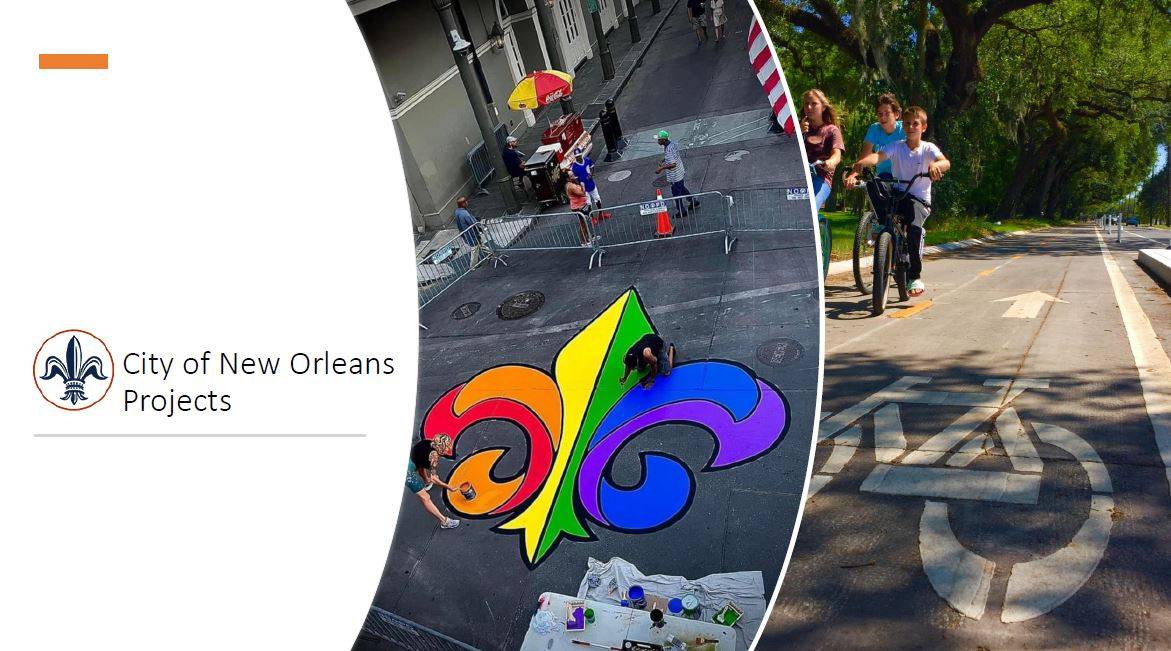
PARTNERS


THE COMMUNITY ENGAGEMENT GROUPS
Safe and Resilient Streets Working Group
Dr. Fields piloted a working group in San Marcos, Texas, to understand how resilience planning can be achieved at the community level. Participants learned best practices from leaders in resilience planning through a series of presentations and discussions.
STORYMAPS
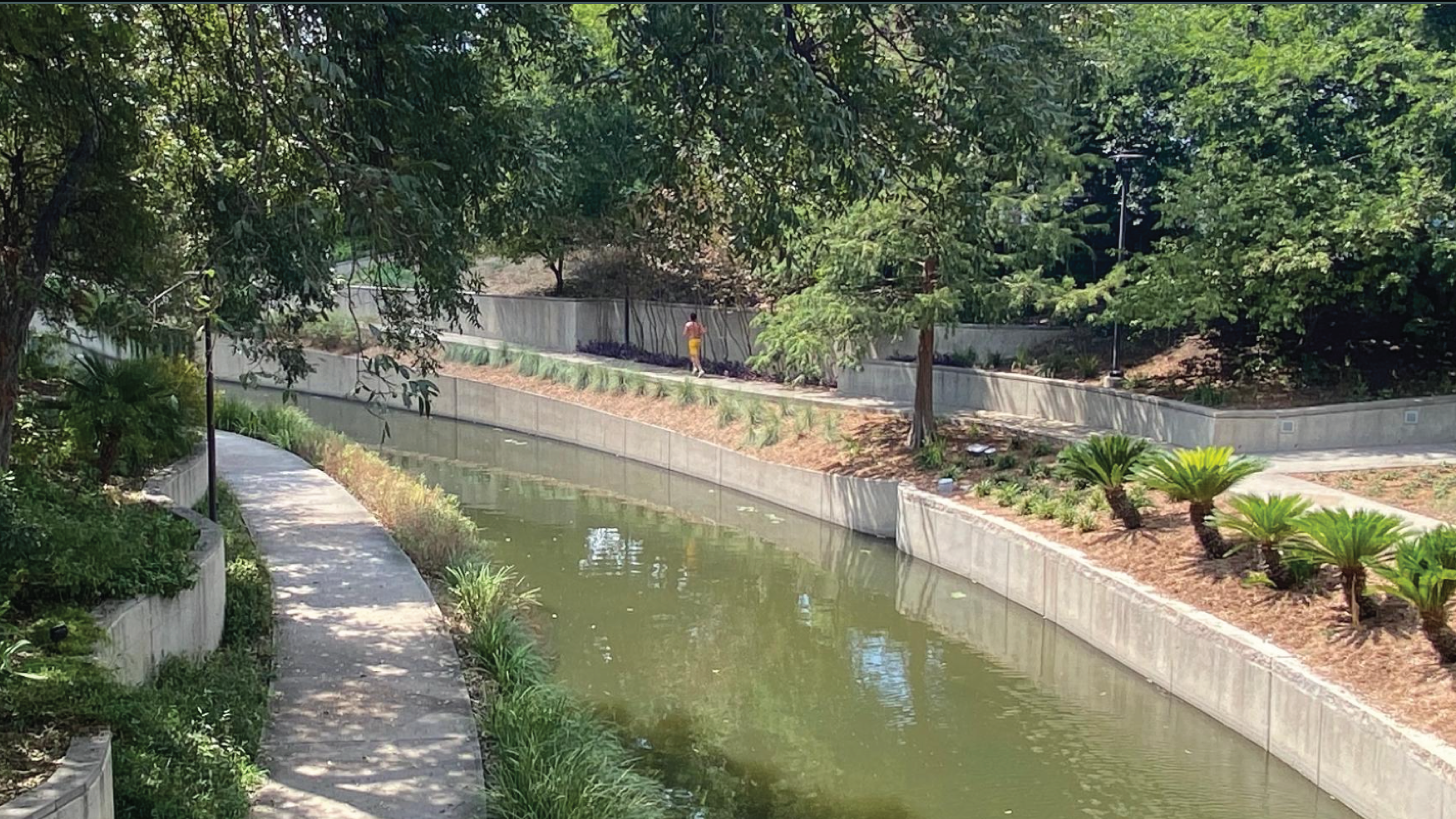
San Marcos Resilient Streets and Greenways Asset Mapping
The working group conducted a street audit to identify and highlight opportunities for resilient streets in their community.
PUBLICATION
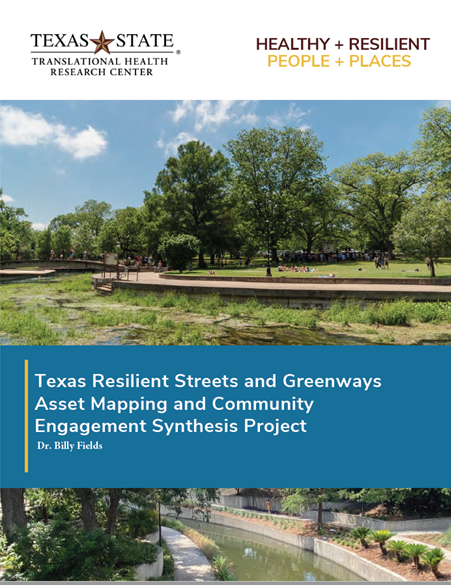
Texas Resilient Streets and Greenways Asset Mapping and Community Engagement Synthesis Project
Author: Dr. Billy Fields